Take a hike!
The diversity of wildlife in Lake Waubeeka is amazing!
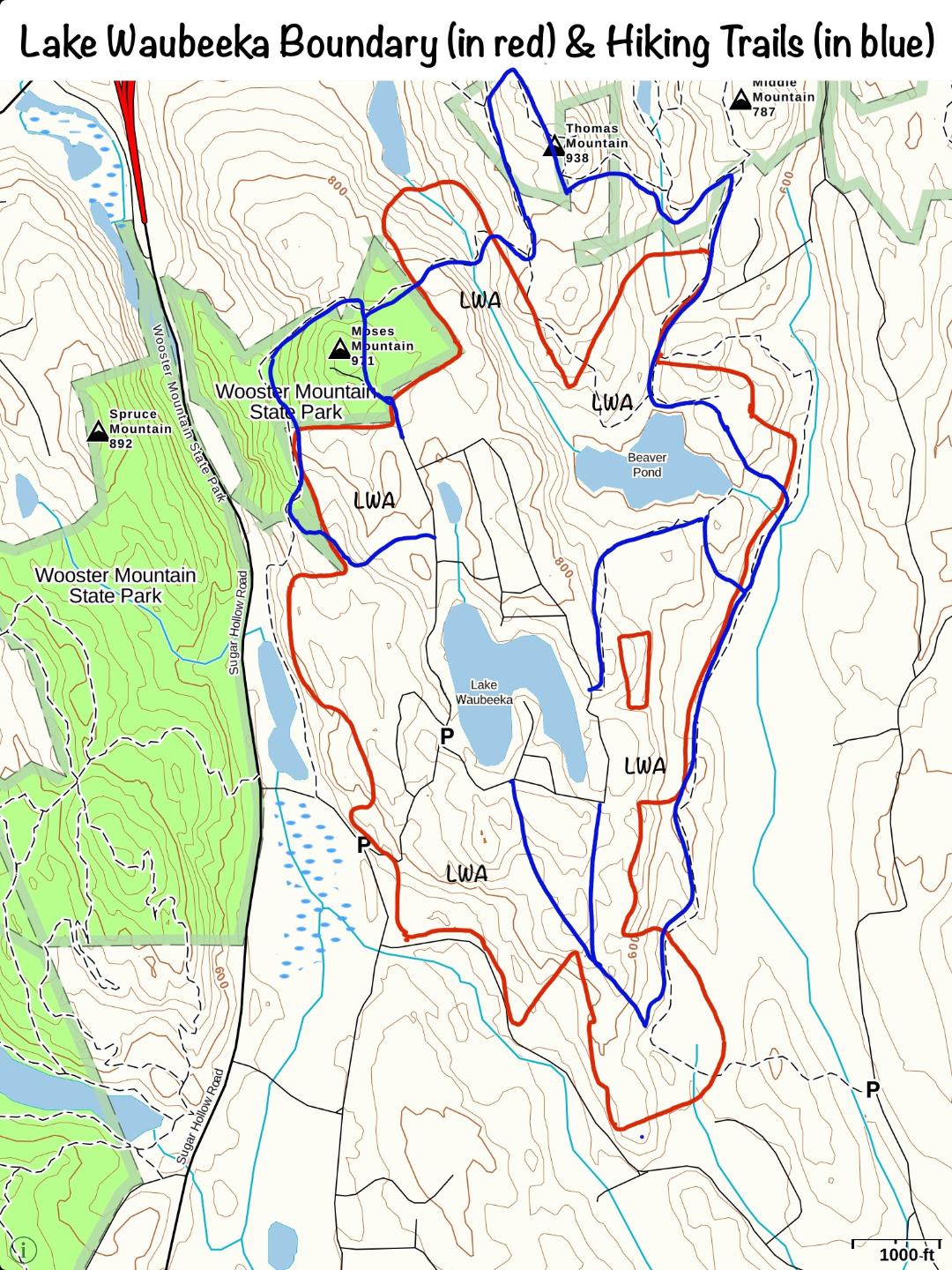
One of our nature trails begins across from the dam on Carol Street. Its entrance is marked by boulders and a chain. The map below shows several hiking trails in and around our community. The red lines represent the boundaries of our property. The blue lines are hikes that start from roads inside Lake Waubeeka.

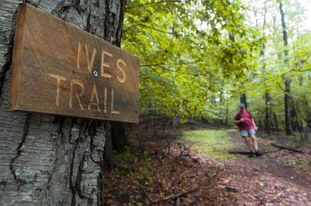
Ives Trail

The Ives Trail is another wonderful option for hikers. The trail extends twenty miles, from Redding Open Space to Terre Haute in Bethel, northwesterly to Rogers Park in Danbury, past the Charles Ives Homestead, and then southerly through Tarrywile Park. It then continues southwesterly across Route 7 and through Wooster Mountain State Park to the existing trail systems in Ridgefield’s Bennetts Pond Park and Pine Mountain Park.
Click here for a PDF with information and a complete map of the Ives Trail. More information is available at the Western Connecticut Council of Governments website.
Remember to charge your mobile phone before you head out! You may also want to download a hiking app such as ALLTRAILS, GAIA GPS or MAPMYHIKE GPS.

From “Lake Waubeeka: The First 40 Years”
The Lake Waubeeka Association Rules State:
Vehicles & Traffic
- Motorized vehicles may not be operated or parked on any land owned by the LWA (except on roadways and areas designated for such use), or on any land owned by another member without the member’s permission.
- No motorized vehicles may be operated on LWA’s woodlands, trails, fields, parks and common land at any time unless at the express direction from the Board of Directors..
Community Property
- Logging, hunting, trapping, and open fires are prohibited throughout the community at all times.
- Littering is not permitted on any LWA property.
- Firearms, BB guns, pellet guns, paint guns, bow and arrows, slingshots and other weapons and devices may not be fired or discharged anywhere on common community property at any time without the express written permission of the Board of Directors.


